Current and potential water erosion estimation with RUSLE3D in Castellon province (Spain)
Palabras clave:
erosión del suelo, sedimentos, SIG, laderaResumen
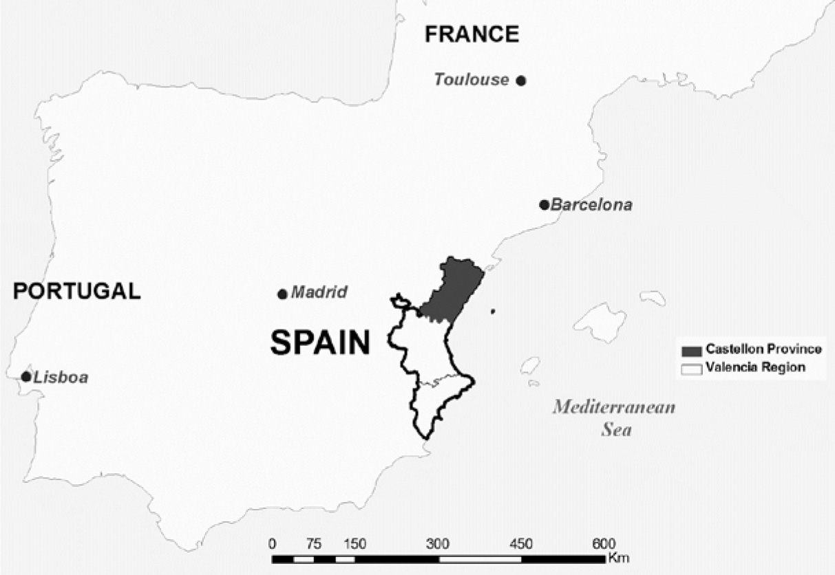
The purpose of this study was the estimation of current and potential water erosion rates in Castellon Province (Spain) using RUSLE3D (Revised Universal Soil Loss Equation-3D) model with Geographical Information System (GIS) support. RUSLE3D uses a new methodology for topographic factor estimation (LS factor) based on the impact of flow convergence allowing better assessment of sediment distribution detached by water erosion. In RUSLE3D equation, the effect that vegetation cover has on soil erosion rate is reflected by the C factor. Potential erosion indicates soil erosion rate without considering C factor in RUSLE3D equation. The results showed that 57% of estimated current erosion does not exceed 10 t/ha.year (low erosion). In the case of potential erosion rates, 5% of the area of Castellon Province does not exceed 10 t/ha.year but 55% exceed 200 t/ha.year. Based on these results, the current vegetation cover of Castellon Province is adequate but needs to be conserved to avoid an increase in the current soil erosion rates as shown by potential erosion rates.

Descargas
Publicado
Número
Sección
Licencia

Esta obra está bajo una licencia internacional Creative Commons Reconocimiento-NoComercial-CompartirIgual 3.0.
Aquellos autores/as que tengan publicaciones con esta revista, aceptan las Políticas Editoriales.