
Monitoring vegetation using remote sensing time series data: a review of the period 1996-2017
Keywords:
phenology, land cover, analysis of multi-temporal remote sensing, spatio-temporal analysis, image fusionAbstract
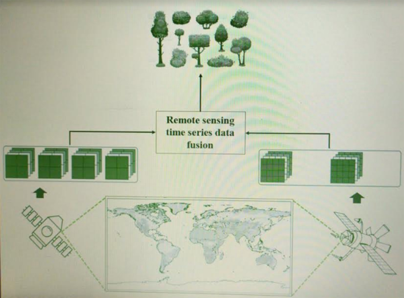
Analyzing time series data with remote sensing provides a better understanding of vegetation dynamics, since previous conditions and changes that have occurred over a given period are known. The objective of this paper was to analyze the current status and recent advances in the use of time series data obtained from remote sensors for vegetation monitoring. A systematic search of scientific papers was performed and 167 papers were found, published during the period 1996 to 2017. No significant difference in the amount of years analyzed was found between time series analyzed with a single sensor and those analyzed with a combination of several sensors (i.e. Landsat and SPOT, Landsat and Sentinel, among others). However, the combination of data from different sensors (fusion of images) can improve the quality of the results. Special
attention must also be given to the fusion of optical and radar data, since this offers more unique spectral and structural information for land cover and land use assessments.
Highlights
- Remote sensing provides a better understanding of vegetation dynamics.
- The number of vegetation monitoring papers published using time series data are becoming more frequent.
- The fusion of Landsat and Sentinel-2 satellite data shows great potential for timely monitoring of rapid changes.
- The fusion of optical and radar data points to a new trend in remote sensing, including the use of geospatial open data sources.
Downloads

Published
How to Cite
Issue
Section
License

This work is licensed under a Creative Commons Attribution-NonCommercial-ShareAlike 3.0 Unported License.
Aquellos autores/as que tengan publicaciones con esta revista, aceptan las Políticas Editoriales.


.jpg)