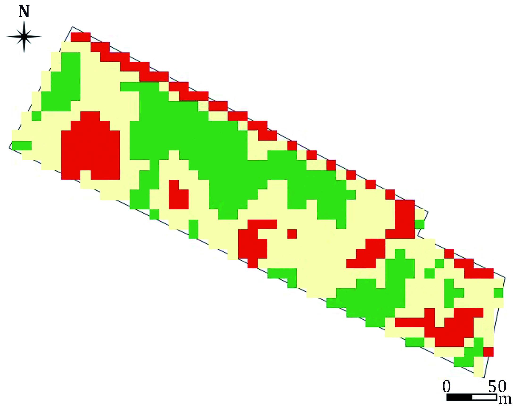
Vineyard zoning of cv Bonarda argentine (Vitis vinífera L.), from Sentinel satellite images and three vegetation indexes
Keywords:
precision agriculture, Sentinel 2, zoning, vegetation indexes, grapevine, Bonarda argentinaAbstract
This study describes the results and conclusions obtained from vineyard zoning in Mendoza by using three vegetation indexes (NDVI, EVI and SAVI). Such indexes were calculated from spectral signals received by the Sentinel- A satellite in the days close to the 2017 harvest. With this information, maps from the plot of land with the zoning given by each index were obtained. Based on the NDVI zoning, a stratified sampling was carried out. On each stratum, 14 plants were marked and the production variables total weight of grape per plant, number of grape bunchs per plant and the weight of 50 berries were measured. The results showed that NDVI and SAVI led to similar classifications in terms of vineyard zones (strata), while EVI captures high vigor levels with less sensitivity. There was a correspondence between the production variables and the strata of high, medium and low vigor. The three indexes clearly showed two different vineyard areas in terms of production. Consequently, these indexes may contribute to rationalize viticulture practices, adjusting the intensity of such practices to the characteristics and needs of each of these vineyard areas.
Downloads

Downloads
Published
How to Cite
Issue
Section
License
Aquellos autores/as que tengan publicaciones con esta revista, aceptan las Políticas Editoriales.


.jpg)


